Buying acreage near Boerne can feel exciting until the lines on the ground start to blur. Fences wander, driveways curve, and utility lines do their own thing. You want clear answers before you spend time and money on plans. In this guide, you’ll learn which surveys you may need, what to look for in the Texas Hill Country, and a simple workflow to protect your investment. Let’s dive in.
Why surveys matter in Boerne
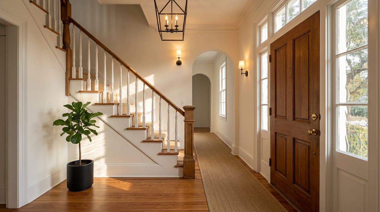
A survey confirms the legal boundaries of your property and shows how improvements, easements, and access line up with the recorded description. This is essential on acreage where visible features often do not match the record. Title companies and lenders may require a reliable survey or recorded plat to insure title and close. If you are financing or need title coverage that addresses easements and improvements, you may be asked for a specific survey type.
The Hill Country brings unique challenges. Slope, limestone and karst, flood-prone drainages, private roads, and on-site systems can affect how and where you can build. Some parcels need more than a simple boundary sketch. A licensed Texas Professional Land Surveyor will help you decide the right scope for your goals.
Survey types you may need
Boundary survey
A boundary survey marks corners and shows property lines based on deeds and recorded plats. It can reveal visible encroachments and lot line conflicts. Use this when you want to confirm exact lines or verify acreage, especially if fences or driveways look off. Keep in mind that boundary surveys typically do not include underground utilities or detailed topography.
ALTA/NSPS Land Title Survey
An ALTA/NSPS survey follows national minimum standards and is often requested by lenders and title insurers for complex or large-acreage purchases. It combines boundary work with a review of recorded easements, covenants, improvements, and visible utilities. You can add optional items, like topography. ALTA surveys cost more and take longer, so confirm with your lender and title company which optional items you need and build that into your contract timeline.
Topographic survey
A topographic survey maps elevations, contours, and major natural and man-made features. In the Hill Country, this is key for building pads, septic placement, well siting, driveways, and drainage plans. For design work, ask for contour intervals that match your needs. Many sites benefit from 1–2 foot contours for accurate grading and foundation planning.
Tree or vegetation survey
A tree or vegetation survey locates significant trees by species and size. This helps you plan driveways and building pads with fewer surprises. If the lot sits inside the City of Boerne, check local tree and landscape rules with planning staff to ensure your plans align with current standards.
Improvement or as-built survey
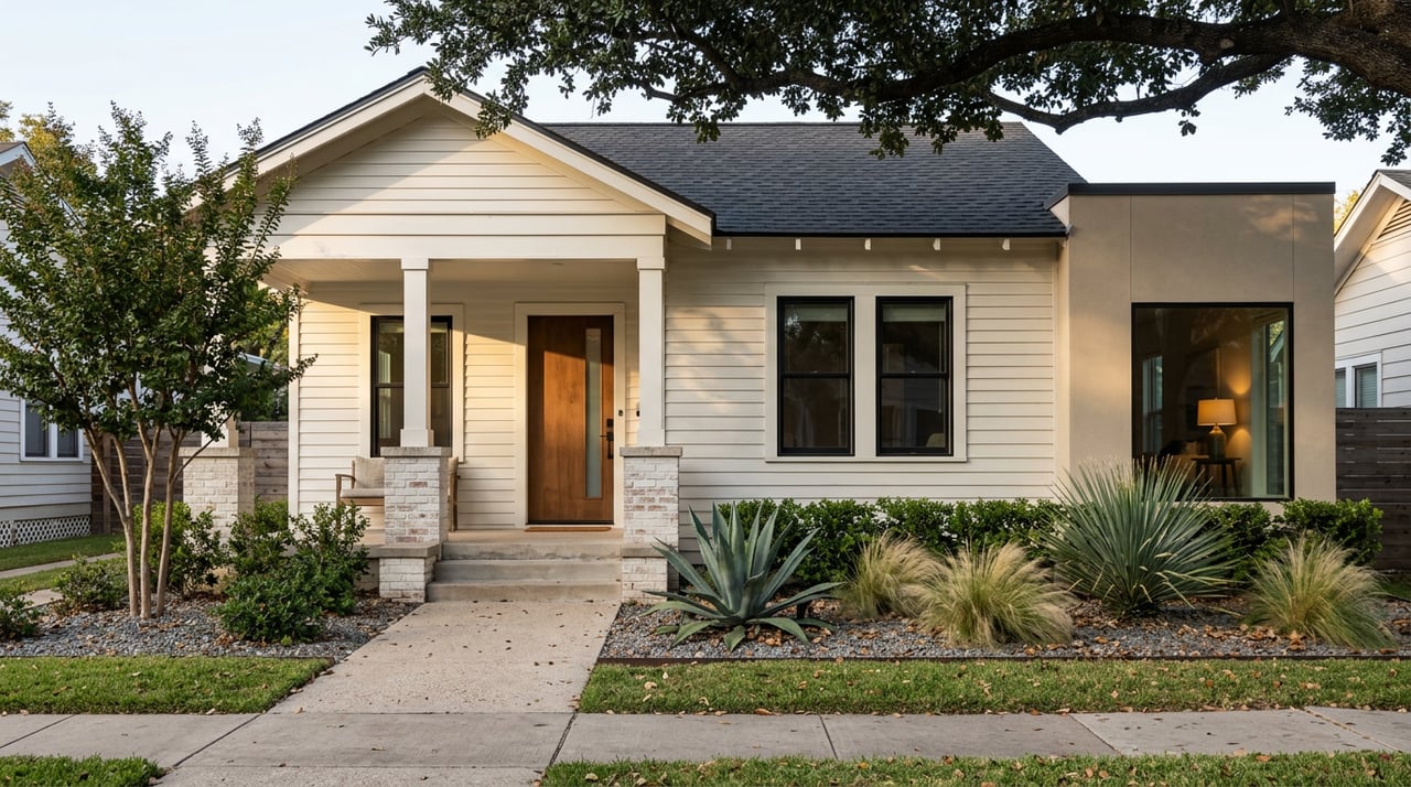
An improvement survey shows structures, fences, driveways, and other features relative to property lines and easements. Order this when you need to verify that improvements sit within allowed setbacks and easements or when you suspect encroachments.
Site feasibility, septic, and well surveys
Rural parcels often rely on on-site sewage facilities and private wells. Pair specialized surveying with soils testing and well siting to confirm that your septic field and well meet setbacks and practical layout needs. In areas with challenging soils, slopes, or shallow bedrock, early testing helps you avoid redesigns and delays.
Hill Country factors that affect your survey
Slope and topography
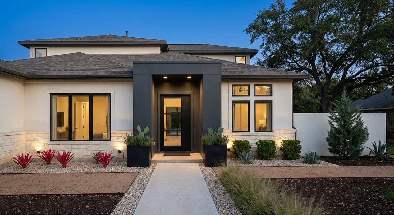
The Boerne area includes moderate to steep slopes that influence your building footprint, driveway design, and cut and fill. A topographic survey provides the data needed for safe and cost-aware plans. If you expect steep grades or retaining walls, consult a geotechnical engineer along with your surveyor.
Karst limestone and groundwater
Limestone and karst features, such as cavities and sinkholes, are common in the Hill Country. These can affect foundation design, drainage, and septic siting. For larger projects or deeper excavation, consider a geotechnical or subsurface investigation to reduce risk. Local groundwater considerations may also apply to well placement and septic design.
Floodplain and drainage
Streams and drainages run through acreage parcels, and flood-prone areas are not always obvious. Check floodplain maps to understand your flood zone and permit requirements. The local floodplain administrator, either Kendall County or the City of Boerne if inside city limits, can confirm base flood elevation and local rules.
Access and private roads
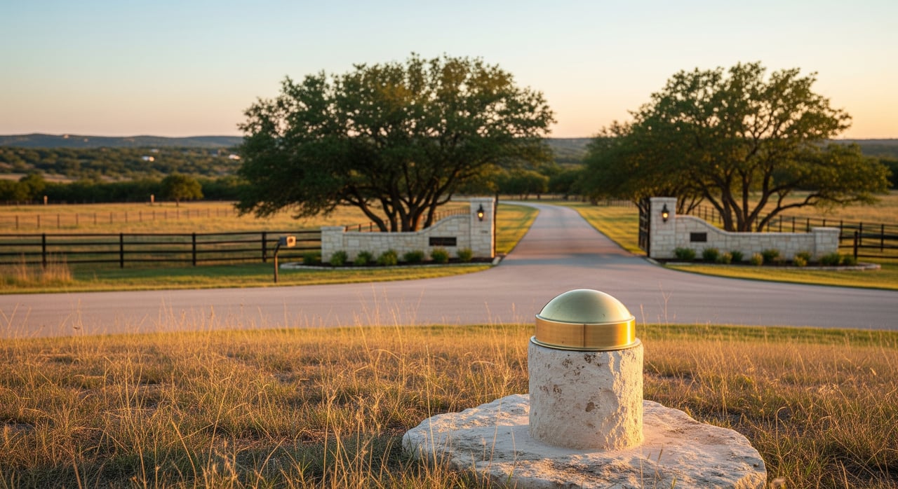
Many acreage tracts rely on private roads or access easements. Your survey should verify legal access and show any gates, encroachments, or discrepancies between how you reach the property and what the records say. Confirm maintenance agreements for private roads in writing, and understand any county or public right-of-way requirements at the entrance.
Utilities, easements, covenants, and mineral rights
- Utilities: Many rural tracts use wells and septic. Confirm well location and yields, and verify septic capacity, permits, and setbacks. Overhead and underground lines should sit within easements. Map shows may miss underground lines, so use 811 and field verification during design.
- Easements: Utility, drainage, access, conservation, and pipeline easements are common and usually run with the land. An ALTA/NSPS survey will identify recorded easements and visible signs of unrecorded ones.
- Covenants and restrictions: Subdivision or HOA rules can limit uses. Review deed and county records early.
- Mineral rights: In Texas, surface and mineral estates can be severed. Confirm whether mineral rights were reserved in past deeds, and understand how subsurface activity could impact the surface.
A buyer’s survey game plan in Kendall County
Pre-offer research checklist
- Get the deed and legal description from the listing or Kendall County Clerk.
- Request the seller’s survey or plat and note when it was prepared and by whom.
- Review county records, City of Boerne planning information if inside city limits, and FEMA flood maps for early constraints.
- Ask about wells, septic systems, utility service, and any private road access or maintenance agreements.
Contract and contingency tips
- Include a survey contingency with enough time to order and review the work.
- Agree in writing on who pays for a new survey. Market practice varies.
- If your lender or title company requires an ALTA/NSPS survey, specify that in the contract and coordinate with the title company on scope and timing.
Post-offer due diligence steps
- Hire a licensed Texas Professional Land Surveyor who knows Kendall County terrain. Provide the title commitment and exceptions.
- Choose the right scope: boundary only, ALTA/NSPS, topo with improvements, or a combination.
- Order specialized studies as needed: topographic survey, percolation testing for septic, well testing, and geotechnical review for slope or karst.
- Call 811 for utility locates and verify locations in the field before any excavation.
- Confirm recorded and unrecorded easements, and obtain copies of private road maintenance agreements if applicable.
- Review results with your surveyor and title company to address encroachments, exceptions, or title issues before closing.
If your survey reveals problems
- Common findings: fence or structure encroachments, unrecorded easements, access defects, acreage discrepancies, or improvements set within an easement.
- Resolution options: boundary line agreements, corrective deeds or quitclaims, releases from easement holders, contract price adjustments, or termination under your survey contingency as allowed by the contract.
Timing, cost, and who to hire
Professionals to engage
- Surveyor: a Texas PLS with Hill Country experience and comfort with ALTA/NSPS standards.
- Title company or attorney: to interpret title commitment exceptions and coordinate endorsements.
- Geotechnical engineer: for steep slopes, suspected karst, or complex soils.
- Septic designer or OSSF professional: for lots without sewer service.
What drives cost and timeline
Survey pricing depends on parcel size, slope, tree cover, ALTA requirements, time for title research, and travel. Acreage and ALTA surveys usually cost more than basic subdivision surveys. Topographic, tree, and geotechnical studies add to the budget and scale with complexity. Turnaround can range from several days to multiple weeks. ALTA surveys often take longer due to coordination with title records. Start early in your contract timeline.
How to select a surveyor
- Confirm Texas licensure and ask about recent work in Kendall County.
- Share your title commitment and discuss which ALTA optional items you need, if applicable.
- Ask about turnaround time, deliverables, and whether corners will be staked in the field.
- Request a written scope and fee so everyone is aligned on expectations.
Local records and contacts to check
- Kendall County Clerk: recorded deeds, plats, easements, and subdivision documents.
- City of Boerne Planning and Development: permits, tree rules, and development standards inside city limits.
- FEMA Map Service Center: Flood Insurance Rate Maps and floodplain details.
- Texas Board of Professional Engineers and Land Surveyors: licensing and complaint information for surveyors.
- Texas Society of Professional Surveyors: professional resources and local member firms.
- Texas Commission on Environmental Quality: rules and guidance for on-site sewage facilities.
- Edwards Aquifer Authority or Texas Water Development Board: groundwater and aquifer considerations where applicable.
- Texas Railroad Commission and county mineral records: mineral leases and production activity.
Key takeaways
- Do not assume a fence marks the legal boundary. Hire a licensed PLS to verify.
- Match the survey to your goals: boundary for lines, ALTA for title-driven needs, topo for design, and specialized work for septic and wells.
- Plan for Hill Country realities: slopes, karst, drainage, private access, and utility easements.
- Build survey timing into your contract and coordinate with your lender and title company early.
- If issues arise, you have options to resolve them or adjust the deal under your survey contingency.
If you want a clear path from survey to close on a Boerne acreage, let’s talk through your plan and connect you with trusted local pros. Reach out to MarkAnthony Ball for step-by-step guidance and buyer representation tailored to Hill Country properties.
FAQs
Do I need a new survey if the seller already has one?
- It depends on age, scope, and what your lender or title company requires. If it is recent, acceptable to the title company, and matches the title commitment, you may be able to use it.
What survey do lenders or title companies require for acreage in Kendall County?
- Many ask for an ALTA/NSPS survey on non-standard or large-lot transactions. Confirm requirements with your lender and title company early.
Who pays for the survey in a Boerne transaction?
- Market practice varies. Buyers often pay for a new survey after contract, but you can negotiate and document the agreement in the contract.
How do mineral rights affect a Boerne acreage purchase?
- Mineral rights can be severed from the surface in Texas. Review deed history and the title commitment to understand rights and potential surface impacts.
How do I verify legal access to an acreage lot near Boerne?
- Confirm recorded access easements or public right-of-way in county records and have your survey show physical access, gates, and any encroachments. For private roads, review written maintenance agreements.